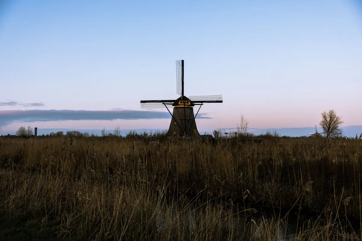
A Beginner's Guide to Walking the Fenland Way
The Fens don't shout about themselves. There's no summit to aim for, no ridge line to follow — just a horizon that keeps moving away as you walk towards it. Which is exactly why people fall for the Fenland Way: a long-distance route threading through the drained landscape of eastern England, linking river banks, straight droves and old sea walls with the market towns strung along them.
If you've never tackled a long-distance path before, this is a forgiving place to begin. It's flat, it's rarely crowded, and it asks for different skills from a hill walk — patience, navigation, and a willingness to notice small things.
The Fenland Way crosses some of the flattest land in Britain, the former marshland drained over centuries and turned into a patchwork of arable fields, drains and embankments. Instead of climbing, you follow: alongside rivers, along the tops of flood banks, down drove roads that run ruler-straight for a mile or more.
Most people walk it in stages rather than as one expedition — a few days end to end, or a series of day sections linked by bus and train. Routes and diversions do change, and waymarking here can be patchy, so check the current line on an up-to-date Ordnance Survey map or the trail's own route notes before you commit to a section.
The rivers that drain the Fens — the Great Ouse, the Nene, the Welland and their smaller neighbours — are mostly held above the level of the surrounding fields. Walking their banks gives you long views, grass underfoot and a steady supply of swans and herons. Early morning is best; by afternoon the wind picks up and the water turns choppy.
The straight lanes between fields are the signature of the Fens. Some are footpaths, some bridleways, some access tracks shared with the occasional tractor. They're peaceful and slightly hypnotic, and they're where you notice the detail: reeds in a drain, a wind pump, a line of poplars planted as a windbreak.
Settlements sit on the few patches of higher ground, which is why so many churches have such tall towers — they were built to be seen across the marsh. A handful of towns along the route give you a bed, a hot meal and a decent cup of tea. Worth pausing for:
Expect a mix: grass field edges, rough farm tracks, tarmac lanes, riverbank paths and the occasional crossing of a ploughed field. Gates and stiles come and go. After rain, the heavy clay soils hold water and field-margin paths turn genuinely sticky — the kind of mud that adds an inch to your boots and an hour to your day.
Trail shoes are fine in dry summer conditions. Outside that, waterproof boots with decent grip earn their weight. A single walking pole helps on wet embankments, where a narrow path can slope towards a drain.
There's very little shelter out here. A gentle breeze in town can be a stiff headwind on an exposed bank, and on a hot day the lack of shade tires you faster than the distance would suggest. A hat, sun cream and a light windproof layer earn their place in your pack all year round.
Navigation is straightforward but not optional: map, compass, and the ability to match a drain junction to the line on the page. Waymarks are usually present, sometimes missing, and occasionally point at a path that has since been diverted. If you meet a blocked or ploughed path, don't climb fences or cut across crops — take the nearest legal alternative, then report it to the local authority's rights of way team.
Choose a stretch that follows a river or a bank rather than a road. Aim for something you can finish comfortably in four to five hours, with a village or a station at the far end. Start early, take a flask, and stop somewhere with a clear view of the horizon. The Fenland Way's real pleasure isn't the achievement — it's the space.
If you're walking for fitness or managing a health condition, speak to a GP or another qualified health professional before planning longer days, and build up gradually with shorter routes first.
Previous Post
Common Mistakes When Renovating a Fenland Cottage
Next Post
How to Spot Fenland Wildlife Throughout the Year